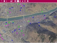
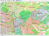
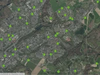
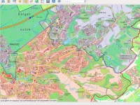
Current data at any time and everywhere
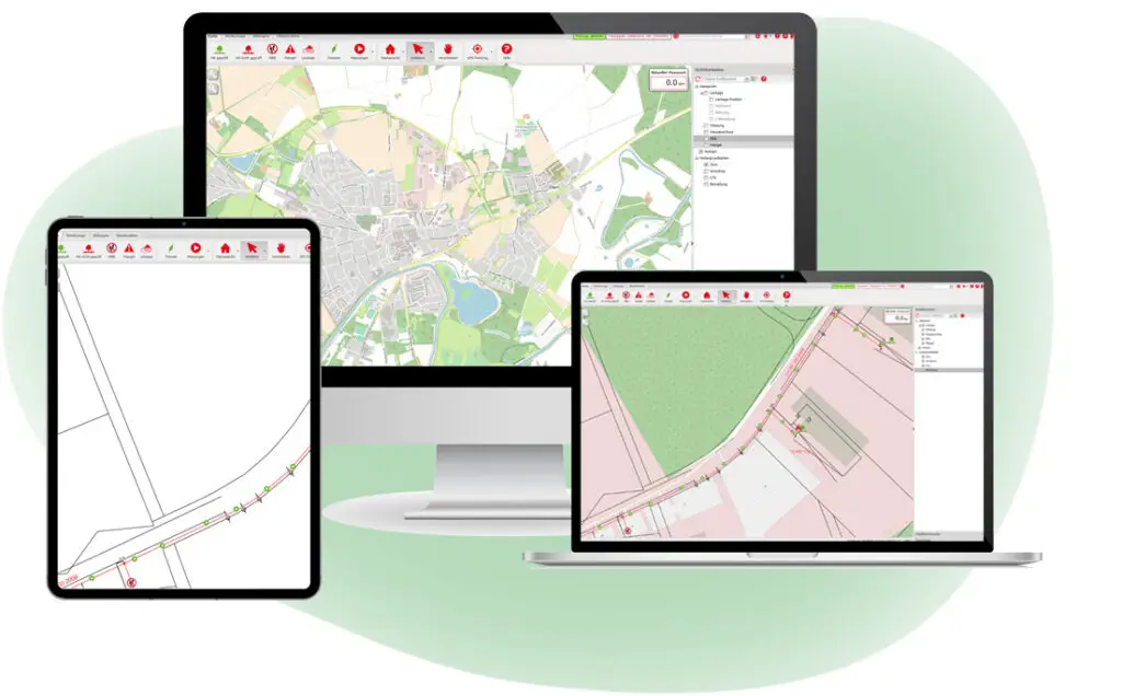
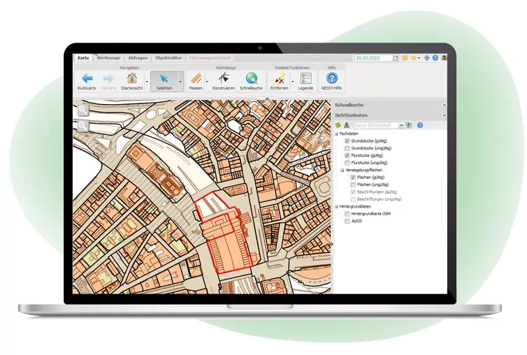
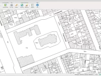
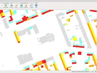
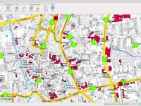
GC OSIRIS is our individual adaptable and scalable web GIS based on a SOA (service orientated architecture) that supports you to visualize, select, query, edit or put out your geo data.
We have been focusing on the usability of GC OSIRIS on desktops and tablets. This usability in conjunction with GPS use supports all processes on site perfectly.
Users can not only apply current positions as new geometries but have also their usual user experience with touchscreens. Changes on site can be transmitted to the current database directly.
Many functions
- integration of information
- portal technology with process support
- relevant and spatial data integration
- INSPIRE conform
- GIS integration
- export options
- Background maps (Google®, Bing®, OSM®)
- OSM and Google search (with Streetview)
- query options
- mobile use for tablets
- notes and redlining
- online and offline usable
GC OSIRIS supports your portal solutions
Our technology is based on a highly flexible and scalable architecture. Users can integrate our client framework in different portals. You have also the option to optimize the server module, for example to use it mostly for map rendering or special analysis. Furthermore, you can scale the system via combining it with other servers. This gives you the possibility to level up your application management.
GC OSIRIS supports your digital processes
Web GIS not only measures and informs about geo data but can also sketch process sequences in the client. Examples are fault management, leakage studies in gas networks or coordination of sites together with the management of statements. The user is guided through the process via dialogues and must fill in mainstream data. A location relation can be placed (for example by the help of addresses and house numbers) or an entry in an optionally available map window – even through untrained GIS users.
Profitable in the future
Be an early bird and decide prematurely for modern and sustainable geo data management with the option to support you actively in your digital processes. It is much easier to build up a new geo data management than to bundle your data subsequently. Furthermore, it is more transparent and helps you to continue. Resources could be reduced by including freely available map services like WMS and WFS. Here the service providers are responsible for the maintenance of the data.
GC OSIRIS also provides the ‘dial before you dig’ coordination based on a GDM with distributed access to help you to save potential.
Integration of arbitrary background maps
We do offer you the following background maps:
- Bing®, Google®: satellite pictures and map display
- OSM ®, WMS®: map display
- Raster charts
- 3D informations (Orbit, Cyclomedia e.g.).
For your evaluations, GC OSIRIS has different query options. You can use the general object search with access to available objects and self-predefined standard queries for recurring questions.
The user gets a list of results with functions like export, filtering, sort and many more.
On the way to a municipal web GIS
The meaning of geo data in public administration is growing more and more when it comes to work across departments. Not only administrations like the local authority real estate office, the building authority or the town planning do need easy access to current geo data, but also departments like the youth welfare offices, city cleaning or fire departments.
The goal of modern geodata management is to realize a comprehensive, interdepartmental municipal information system that includes all relevant information in one central system. It is the base for general information, analysis and presentations. This makes web GIS a huge added value for public administration.
Companies and citizens increasingly want to get easy access to geo data. Responsible for the distribution are geo portals based on GC OSIRIS. Our solution enables cost-effective internet access to data sets from different origins. We even go one step further: With GC OSIRIS, authorities can also implement digital processes relating to citizen requests quick and easy, like requests for a curb drop e.g.
Some examples for portal solutions:
GC OSIRIS server
GC OSIRIS also has a server component that enables, for example, the user management and the plot services. It also provides data at least in the OGC-standards WMS and WFS. Therefore, the GC OSIRIS server is combined with Smallworld GIS or GeoServer and PostGIS.

