Create your own thematic maps
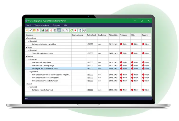
GC Kartographie is a powerful tool to enable Smallworld users to create thematic maps. GC Kartographie is way more than a simple colouring. Challenging theme maps can be created easily for every Smallworld user.
The road to a thematic map
Step by step, the individual layers of a thematic map are created. The kind of presentation is independent of the standard settings in the GIS (ACE, style). The customized configuration can be saved permanently and opened at any time, based on the current database. Furthermore, you can integrate the thematic maps in other products like GC OSIRIS (Web Client) for example.
Colouring, filtering, changing and evaluating of objects
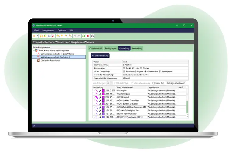
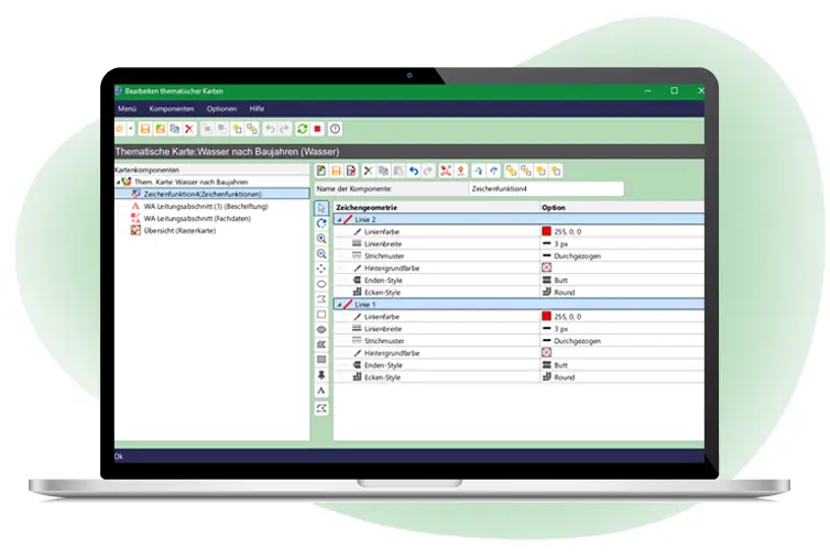
You can randomly color object geometries and link them with object relational attributes. You can set conditions to use limitations based on the attributes. GC Kartographie supports symbols to differentiate point geometries and own styles for lines and text. Ist possible to define coloring groups for numerical values – automatic calculation of intervals and gradient (size, condition and cost classes e.g.) included.
Integration of raster charts and external data
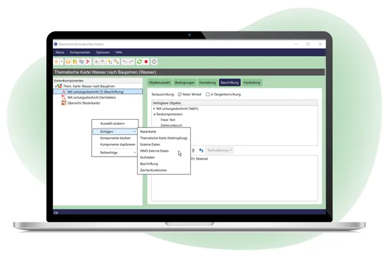
Raster charts and aerial photographs could be greyed out to focus on functional content. Futhermore, you can integrate external data, like generic raster (JPG, BMP e.g.), DXF, Shape or WMS, based on a SOM.

