As comprehensive as the spatial tasks of public administrations are, are our portfolio for applied geoinformation solutions. Our GIS applications support many customers from public administration, to withstand the growing requirements despite the shrinking resources. We support our customers, for example, in the sectors land register, urban land use planning, environment and statistics. Furthermore, we can integrate geoinformation systems based on the powerful GeoServer, support to develop content providing via meta information systems or sustain when it comes to the supply and marketing of geodata to the Internet.
No matter if it is about an efficient realization of asset valuations for costs or the migration to ALKIS– GIS Consult solves all tasks efficiently and fairly.
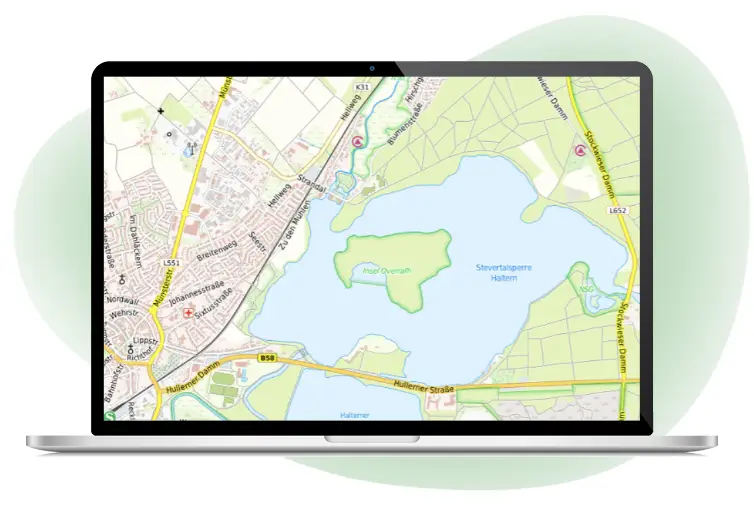
NRM ALKIS
The product NRM ALKIS is based on Smallworld GIS and supports to integrate data retention and information retrieval of land register data in the data model ALKIS. It is ideal for energy suppliers and municipalities that need the land register data as a base layer for their GIS.
Source: GIS Consult LLC
GC SIB
GC SIB is the municipal street database with many modules like condition, surface, “Doppik” (double-entry bookkeeping), inventory, traffic signs, dedication and construction classes. Based on OKSTRA, GC SIB has two referencing levels, the node- and edge model as well as the area model.
Source: GIS Consult LLC
GC Baumkataster
GC Baumkataster supports you to perform and document tree control based on FLL standards. It includes all aspects of tree control and public safety.
Source: GIS Consult LLC
GC Grünflächen
GC Grünflächen supports you to document and manage your green spaces, inspired by the „OK FREI“ from FLL.
Bildquelle: GIS Consult GmbH
GC Spielplatz
GC Spielplatz supports you to document and manage your playground. It is inspired by DIN EN 1176:2008 and DIN 18034.
Source: GIS Consult LLC
NRM Wastewater
The data model NRM Wastewater is your key to an efficient documentation of complex sewer systems and for a perfect wastewater management based on DIN EN 752:2008-4. The included tools support a high-quality and sustainable data collection via NRM Wastewater.
Source: GIS Consult LLC
GC Osiris (WebGIS)
GC Osiris is our individual adaptable and scalable web GIS based on a SOA (service orientated architecture) that supports you to visualize, select, query, edit or put out your geo data.
Source: GIS Consult LLC
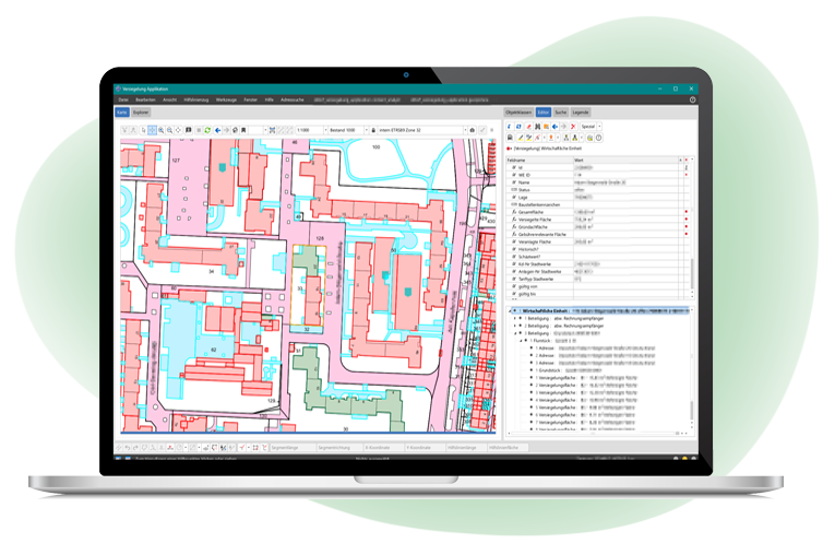
Versiegelungskataster
GIS Consult supporteddifferent municipals in projects, which need to ensure the fulfilment of legal provisions that require a separate electronic toll of waste- and rainwater.