GC infra3d Viewer EN

Your surroundings in a 360° panorama viewer!

Digitaler View

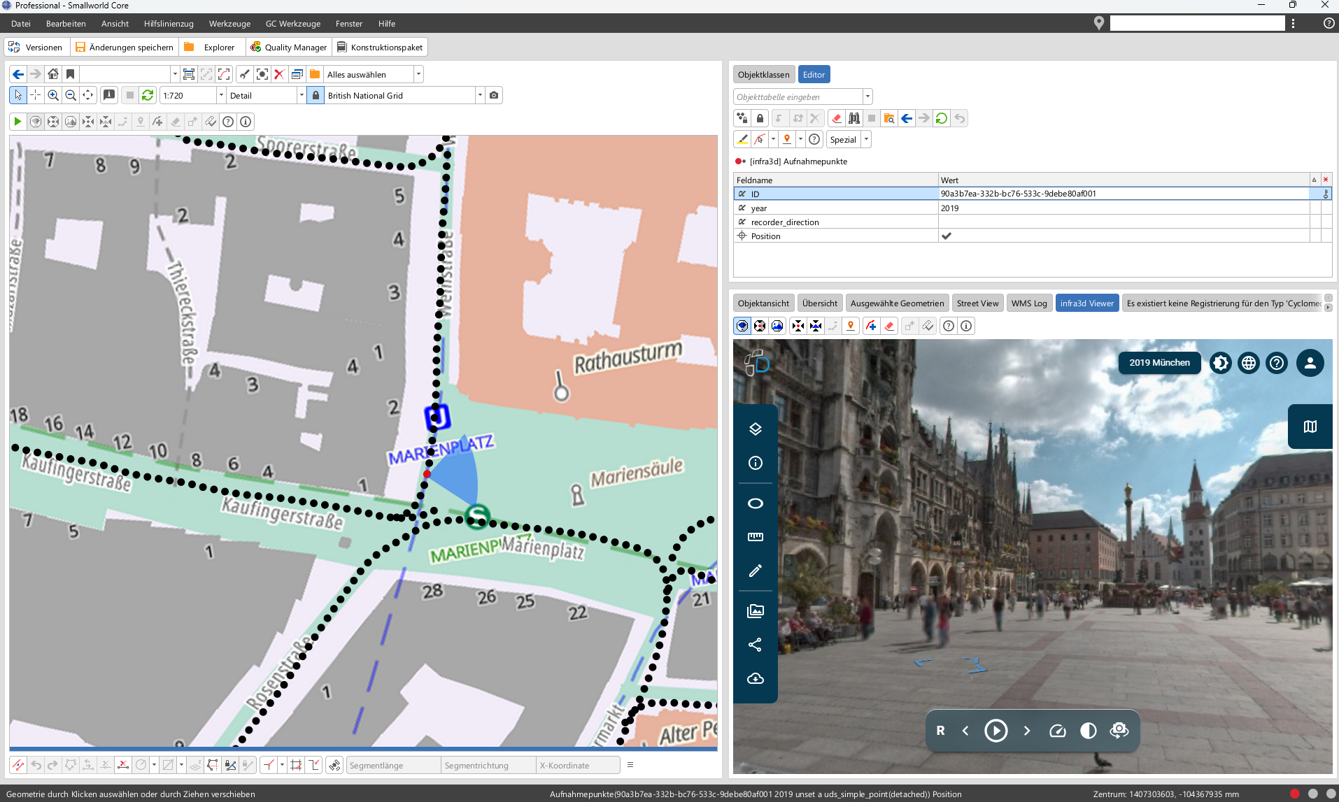
Integration with Smallworld GIS makes it possible to quickly get a “view” of a specific location. Users can freely rotate the map, zoom in or out, or change their viewing perspective without having to be on site.

Source: iNovitas AG

Visuals

iNovitas’ imagery serves as a valuable, user-friendly visual source of information that adds productive value to many processes. Asset management, maintenance, project planning, and the documentation of infrastructure corridors all require a wide range of spatial information. Conventional methods of collecting the relevant data are time-consuming, expensive, and often involve risks or operational restrictions.

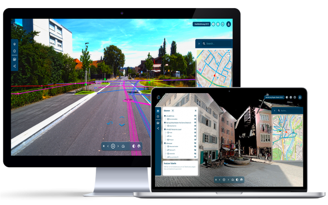
infra3d delivers a high-resolution, georeferenced 3D panoramic image environment (3D street views) directly to your workspace. Using a web or mobile client, you’re always up to date on the status of your infrastructure facilities.
 

Source: GIS Consult LLC

Option to capture images in panorama mode

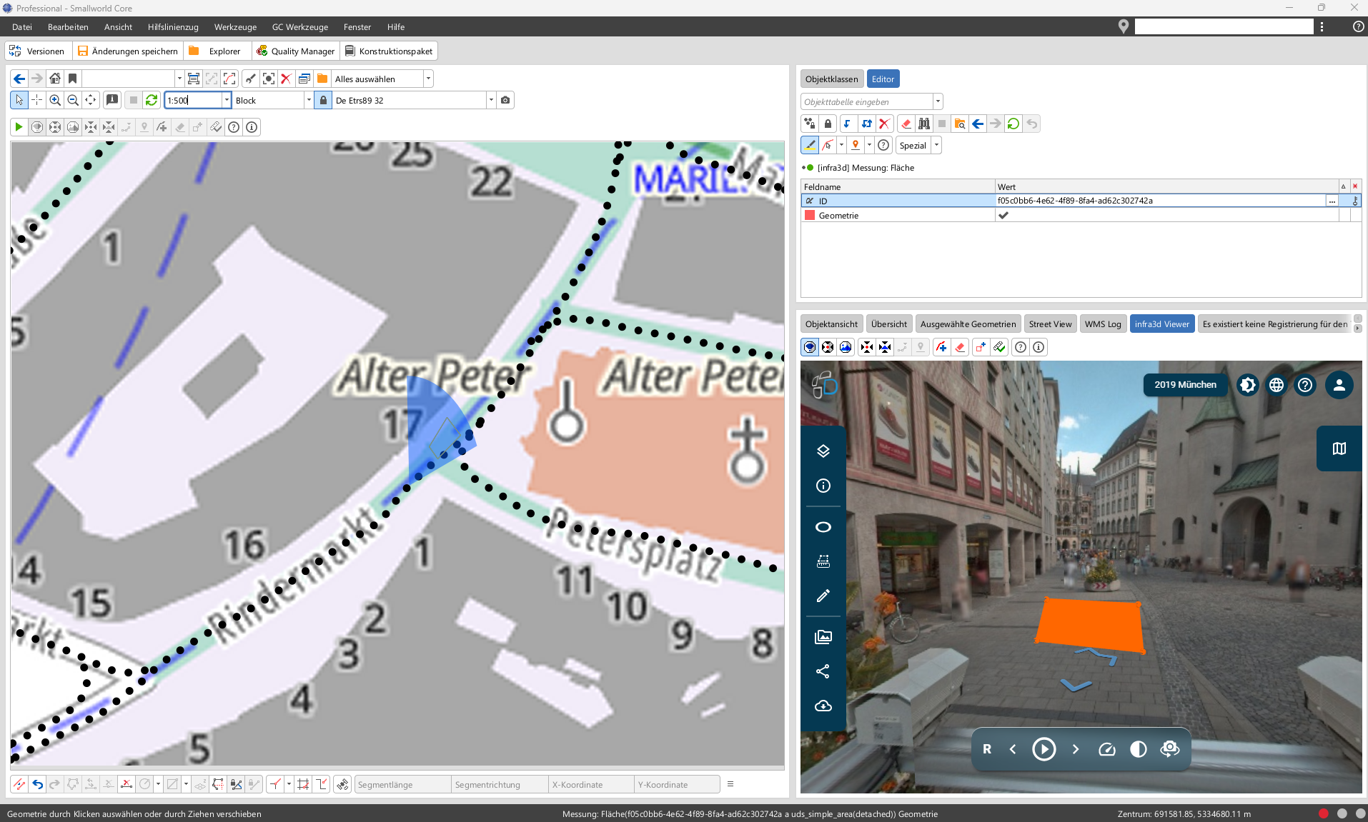
The images can be used not only for measurements (clearance height of a bridge, distance from café seating to the curb, space available for potential signage). A line segment created in the GC infra3d Viewer can also be transferred to Smallworld GIS and converted into a guide line segment. This provides a means of capturing data within the panoramic image.

Conversely, objects from Smallworld GIS can be projected into the GC infra3d Viewer with precise positioning.

Source: GIS Consult LLC
Your contact
Achim Weßling
Account manager
Phone: +49 2364 9218-41